
Viewing Form Entries on a Map
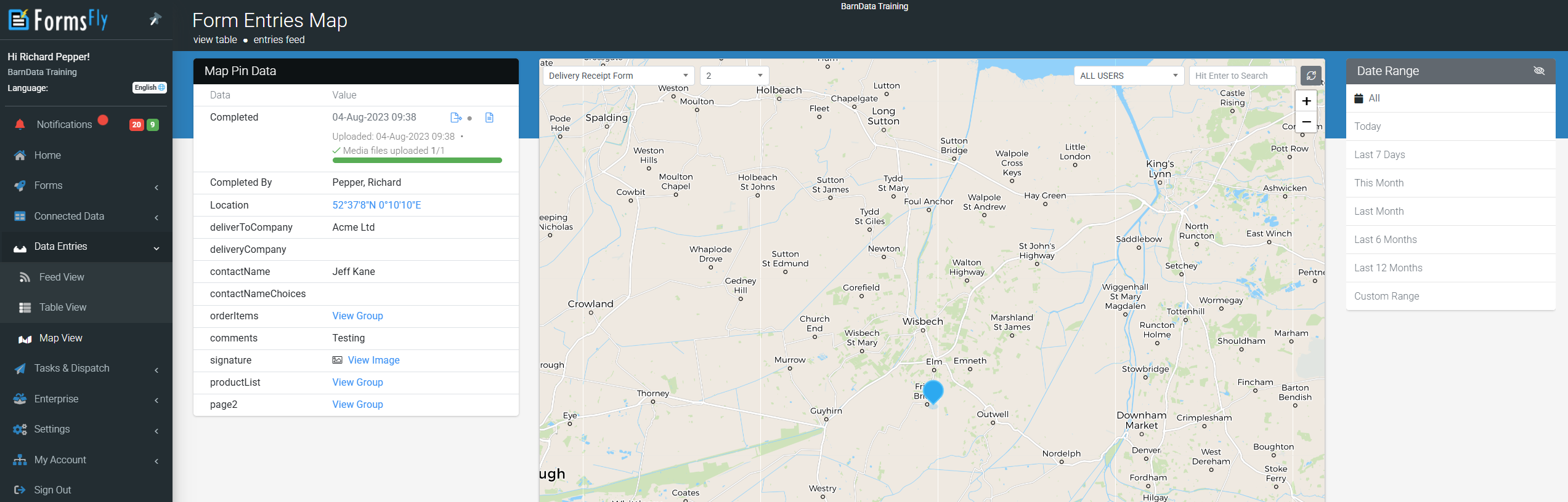
The map will display a pin for each entry and respective data captured when selected under Map Pin Data, with the ability to filter by date, user, and form answers by entering a keyword.
Map Pin Data will also display additional options allowing you to view the entry in a separate window, export (PDF/Word/Excel), and view its connector logs if data was pushed out to external systems, with the ability to reschedule.
Depending on the type of data captured, interactive data is highlighted within Map Pin Data and clickable allowing you to either view locations on a map in a separate window, view images or drill down into repeatable captured data.
This feature requires the chosen form’s settings to have the “Log User Location” option enabled since the app user’s GPS location at the time of completion is what is plotted on the map. By default, this option is enabled for Data Entry Forms. Form Settings>Advanced Options Location data relies on the device’s GPS. If the GPS location wasn’t available when the form was submitted (i.e. form completed before GPS connected, poor weather conditions, indoors, underground) the location won’t be recorded. |